Transform the way you view, manage, and understand your world with professional drone, Ground Penetrating Radar (GPR), and Geographic Information Systems (GIS) services. Based in Greensboro, North Carolina, Integrated Mapping Solutions combines FAA-certified drone operations, advanced geospatial technology, and industry-leading mapping techniques to deliver accurate aerial imagery, detailed site surveys, infrastructure inspections, cemetery mapping, and high-resolution 2D and 3D mapping products that help you make informed decisions with confidence.
From real estate marketing and construction monitoring to utility locating, subsurface investigations, and asset management, our integrated approach provides a complete picture—above and below the ground. Whether you need stunning aerial photography and videography, precise topographic mapping, GPR surveys for buried features, or custom GIS and mapping solutions to organize and analyze your data, we deliver reliable results tailored to your project's unique needs throughout North Carolina and beyond.
Services
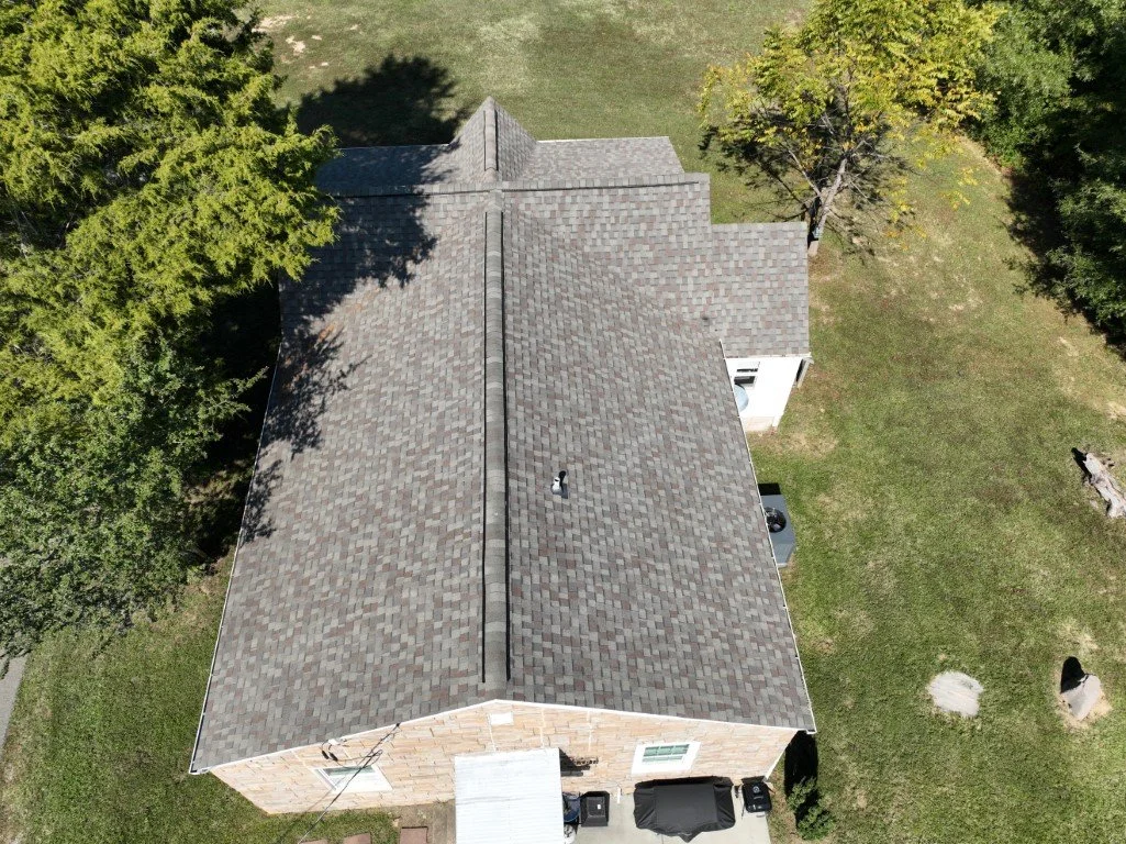
Drone Imagery and Aerial Photography
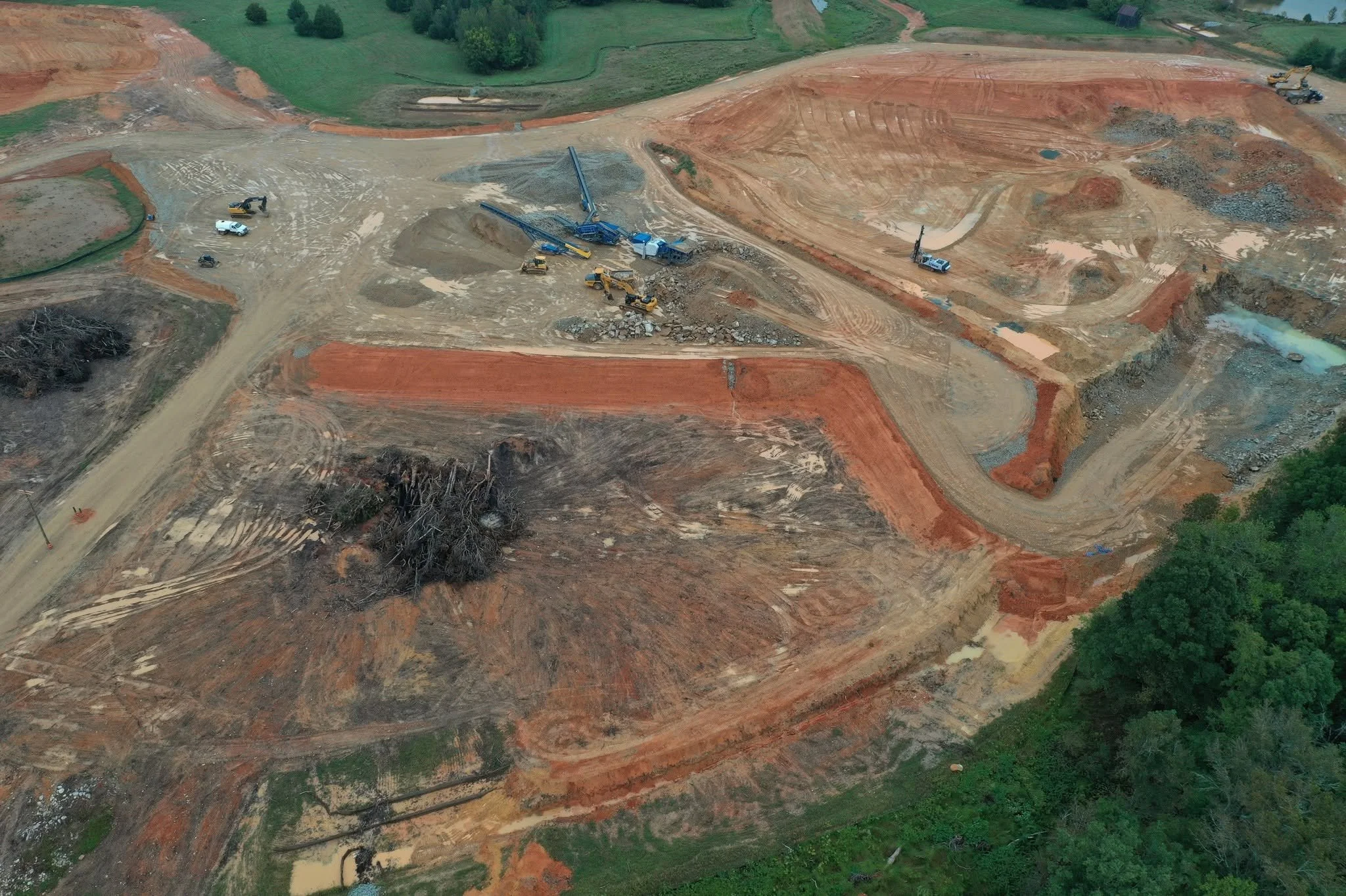
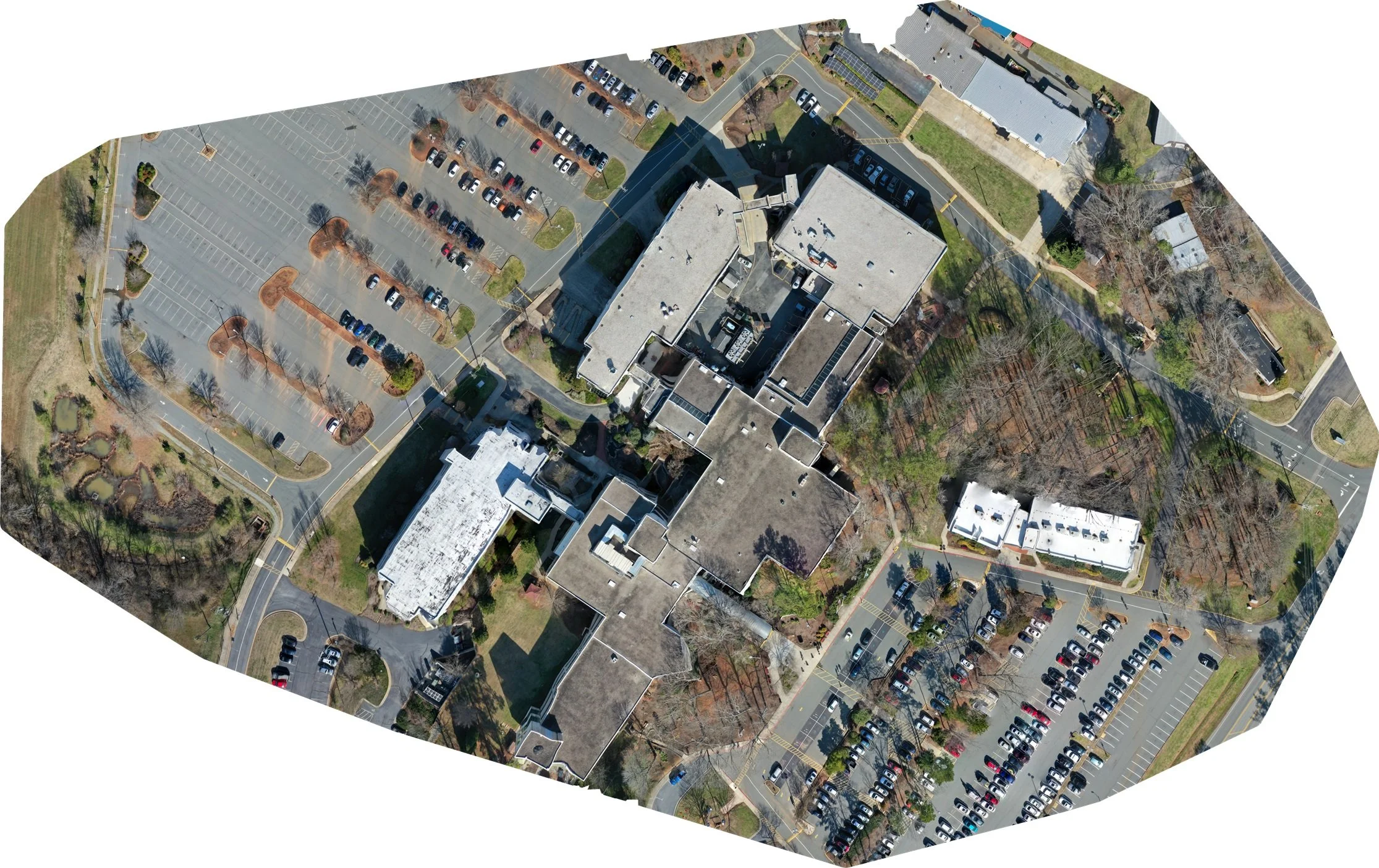
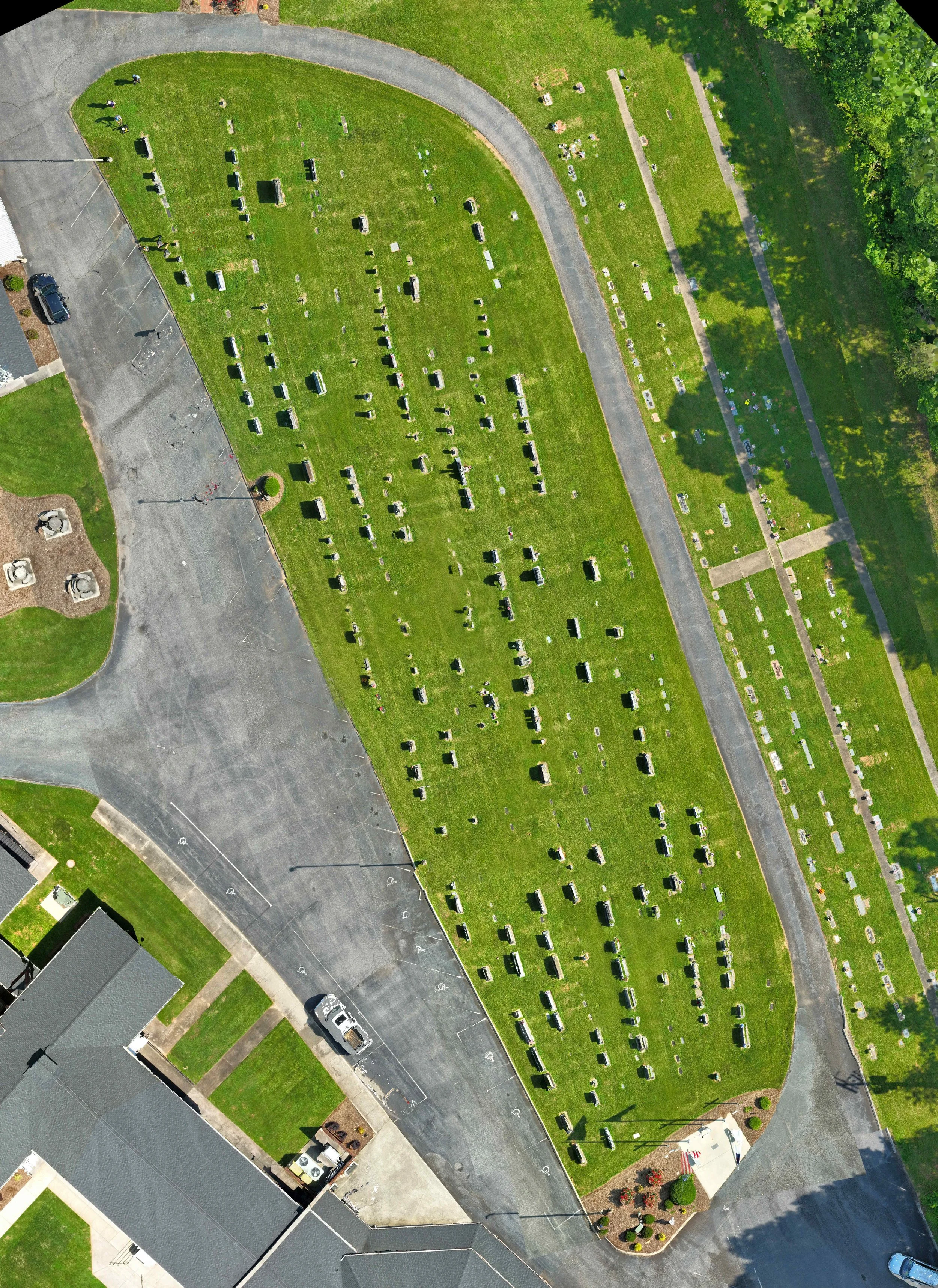
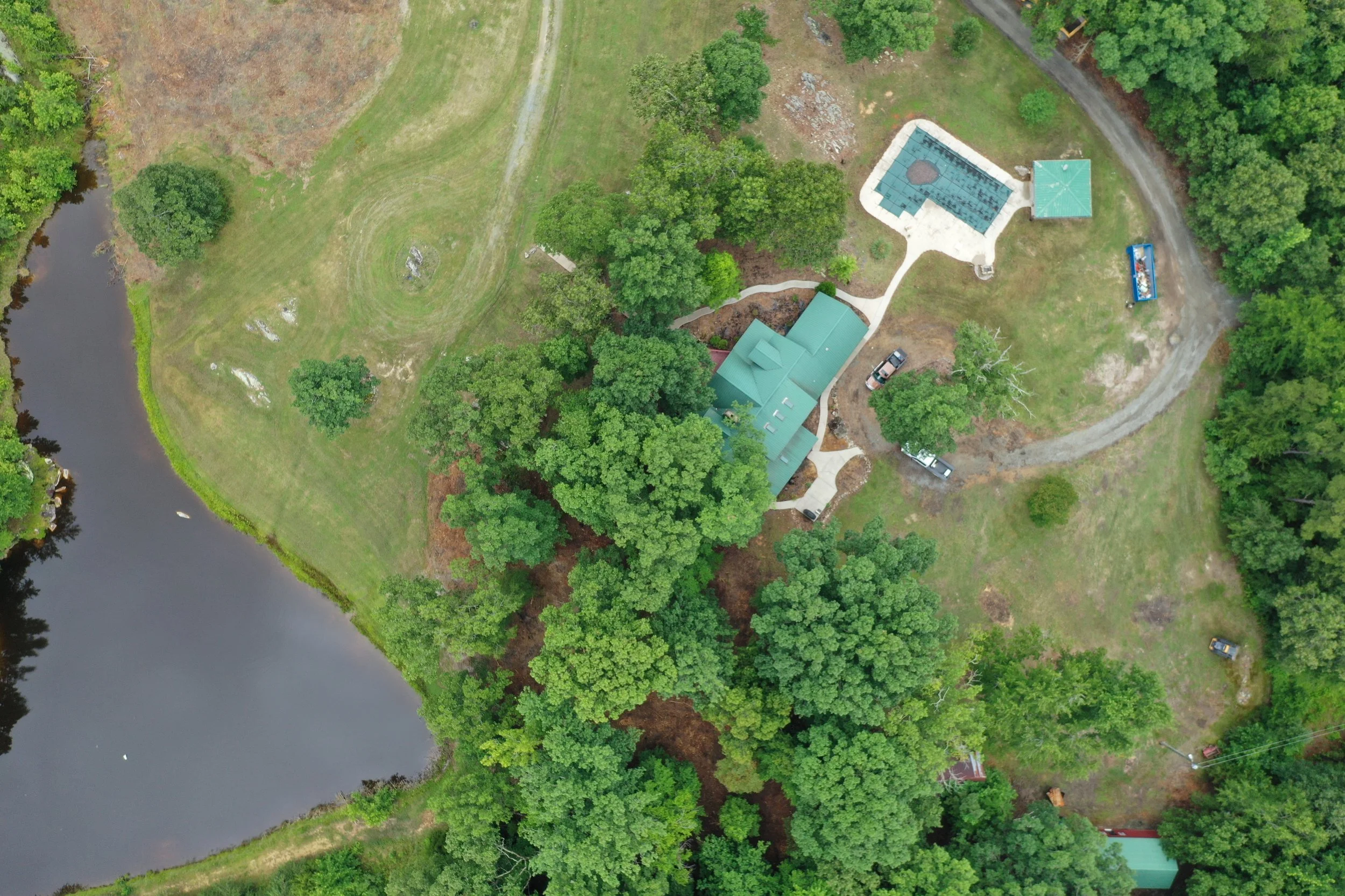
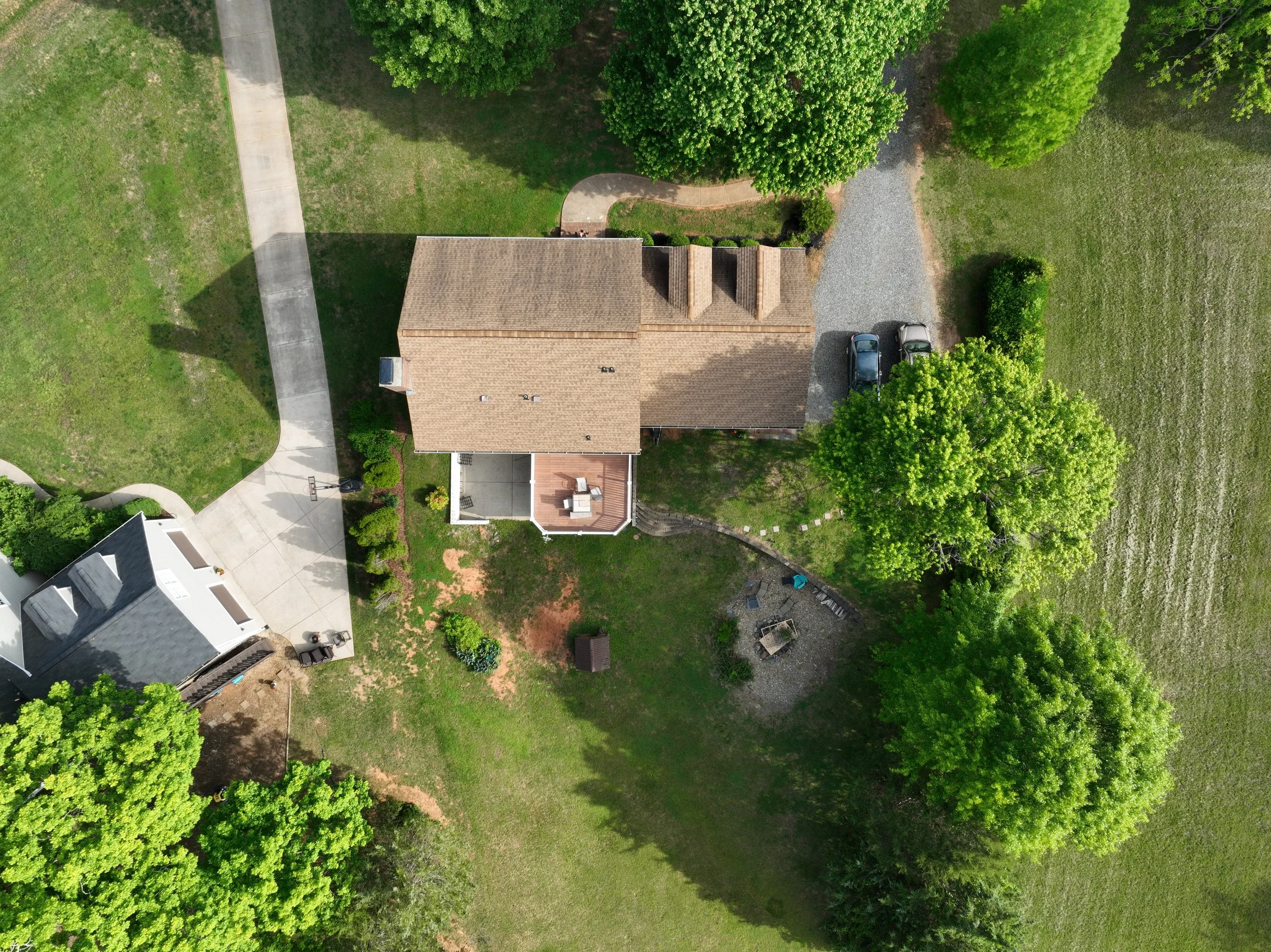
Integrated Mapping Solutions provides professional drone mapping services that delivers accurate aerial data, high-resolution single shot or merged ortho-mosaic imagery, and detailed 2D and 3D maps for land development, real estate, construction, agriculture, utilities, and property management.
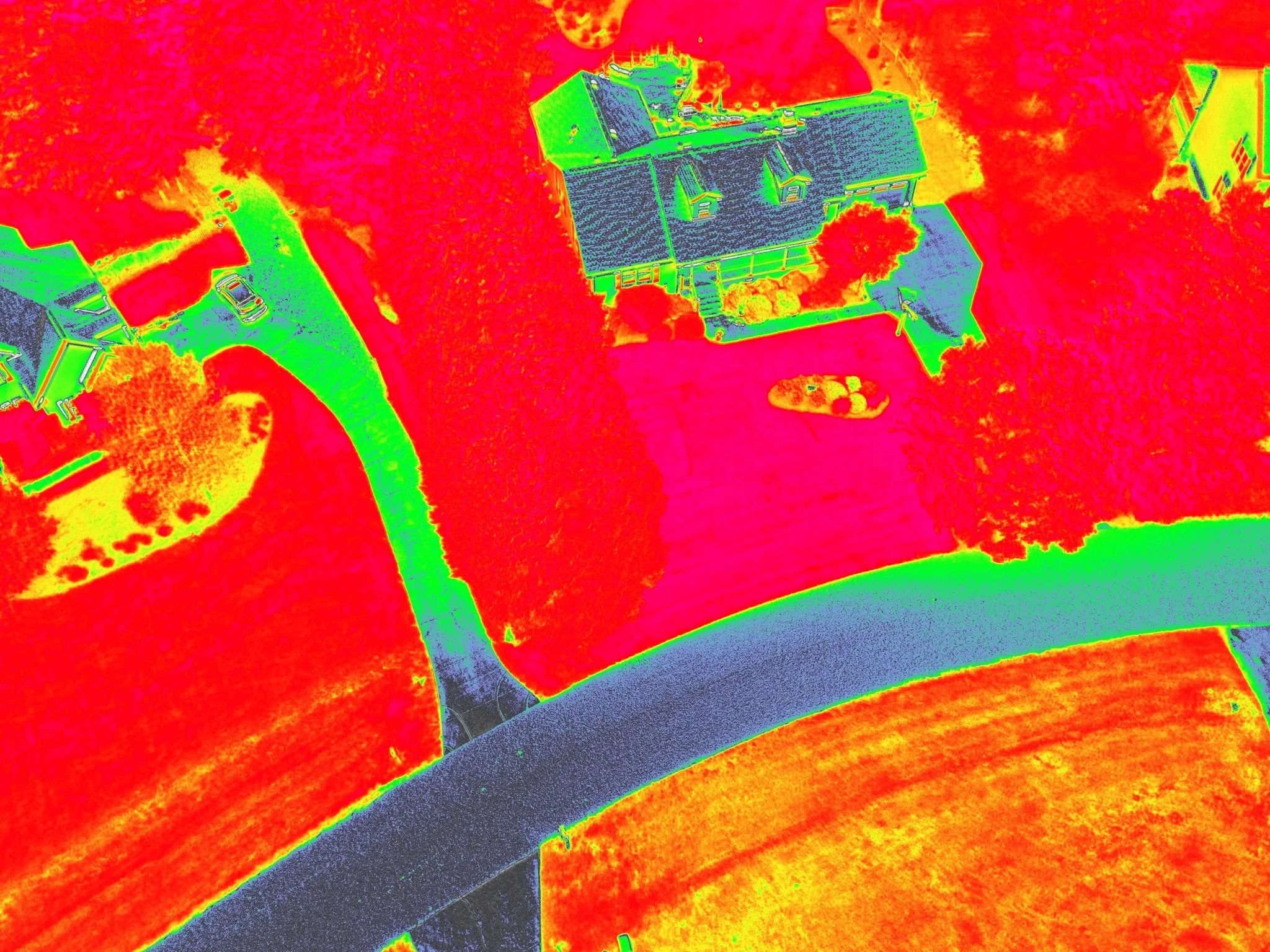
Thermal Imagery
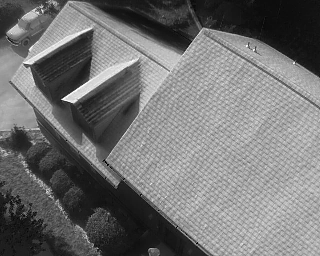
Discover hidden problems before they become costly repairs with professional thermal imaging services from Integrated Mapping Solutions. Our drone-based thermal inspections can identify heat loss, moisture intrusion, roof issues, electrical hotspots, heat pollution on water bodies, search and recovery, and other concerns that may not be visible to the naked eye.
Infrared Imagery
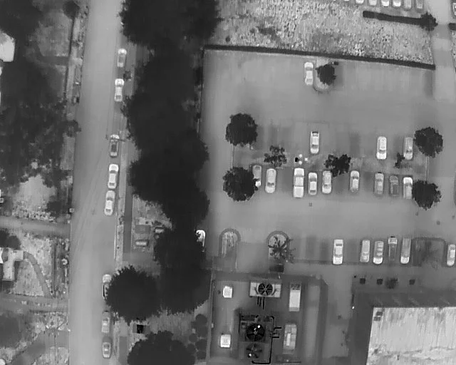
See beyond what the eye can detect with professional infrared imaging services from Integrated Mapping Solutions. Our drone-based infrared technology helps identify moisture problems, heat loss, drainage issues, stressed vegetation, and other hidden conditions that can impact your property or project.
Ground Penetrating Radar
GIS and Mapping Services
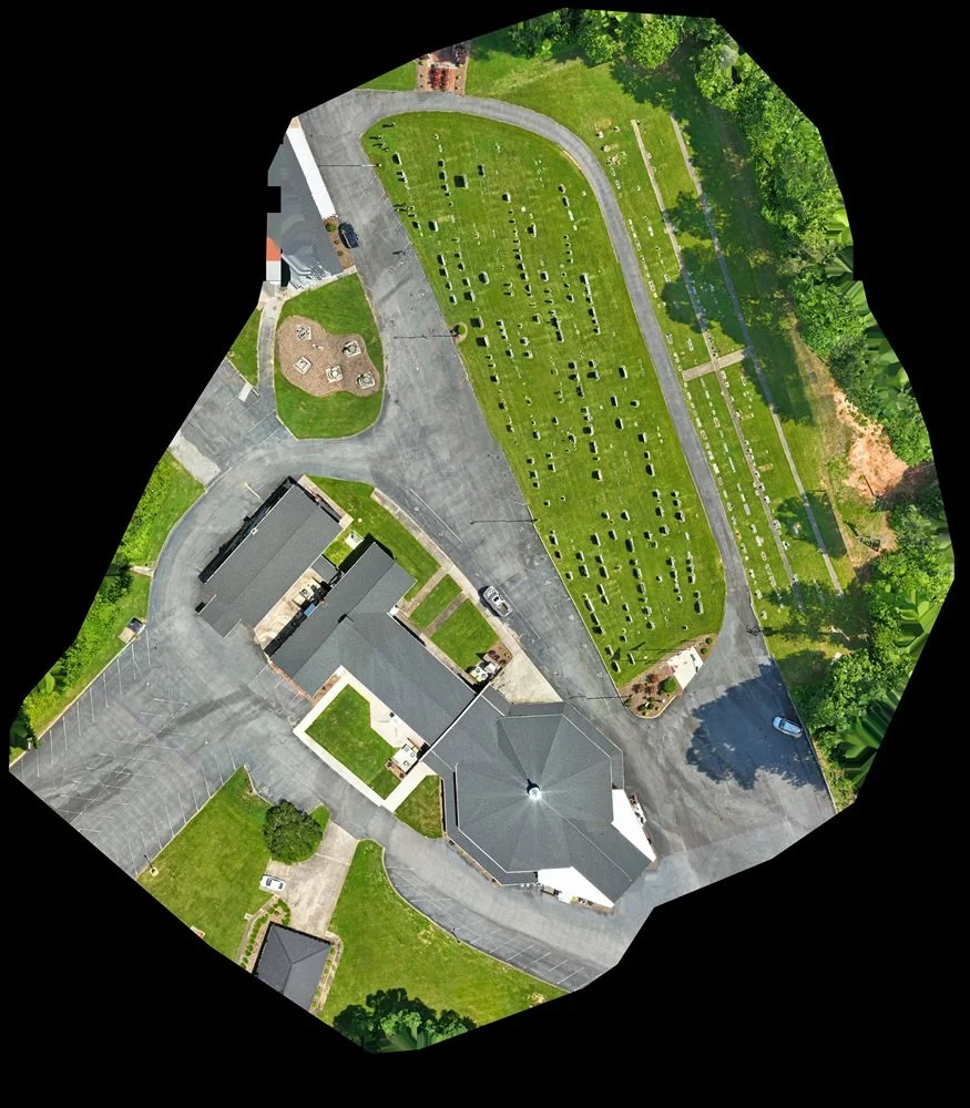
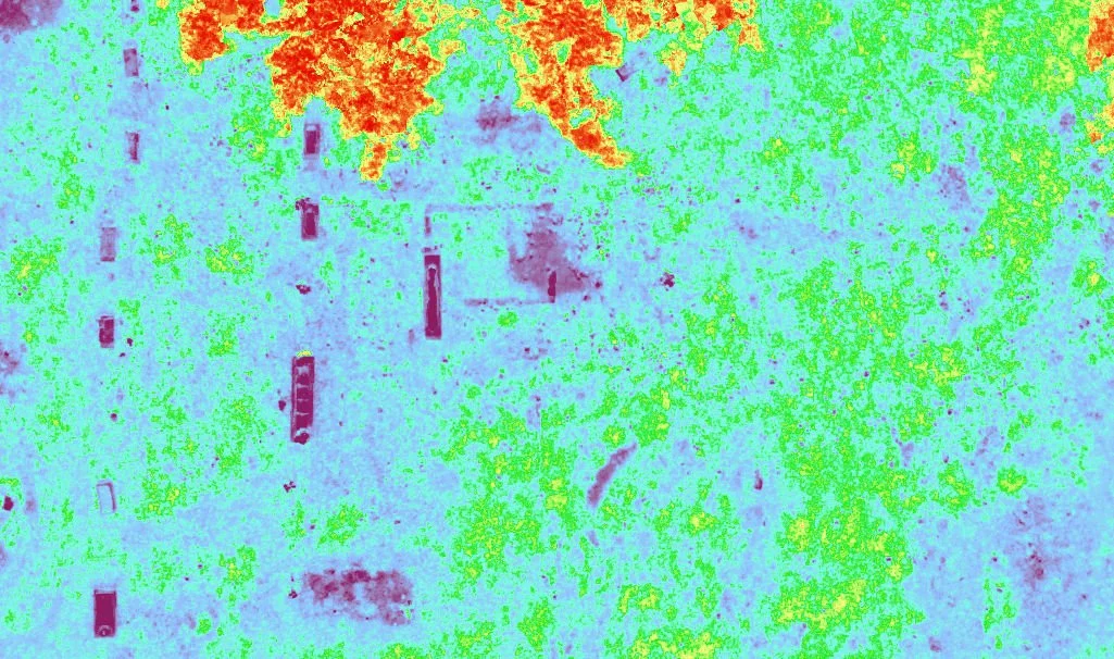
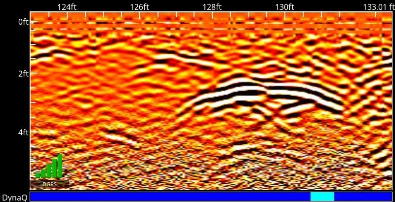
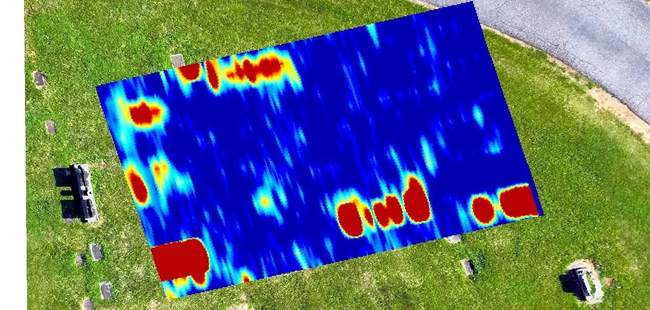
Drone imagery with GPR readings at 5 foot depth for cemetery (left) and signatures for features found at 2 foot depth highlighted by the parabola shape on right.
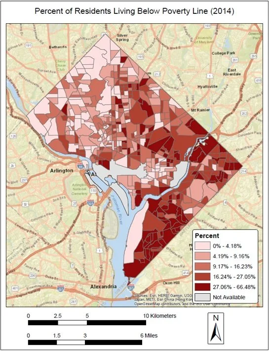
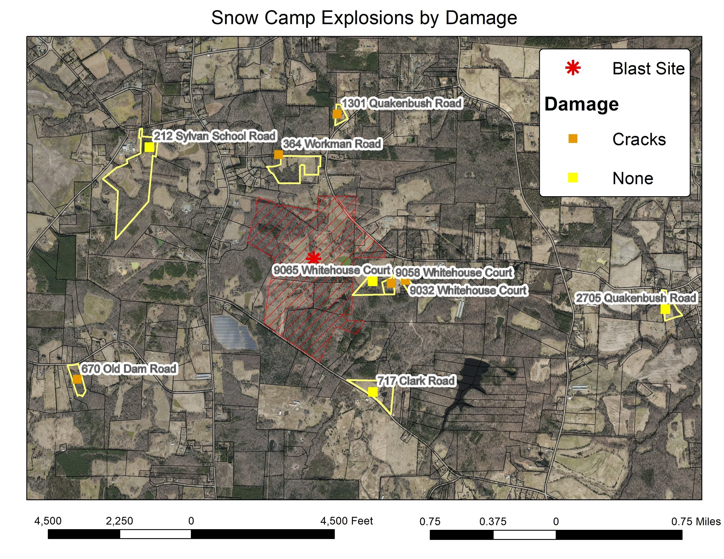
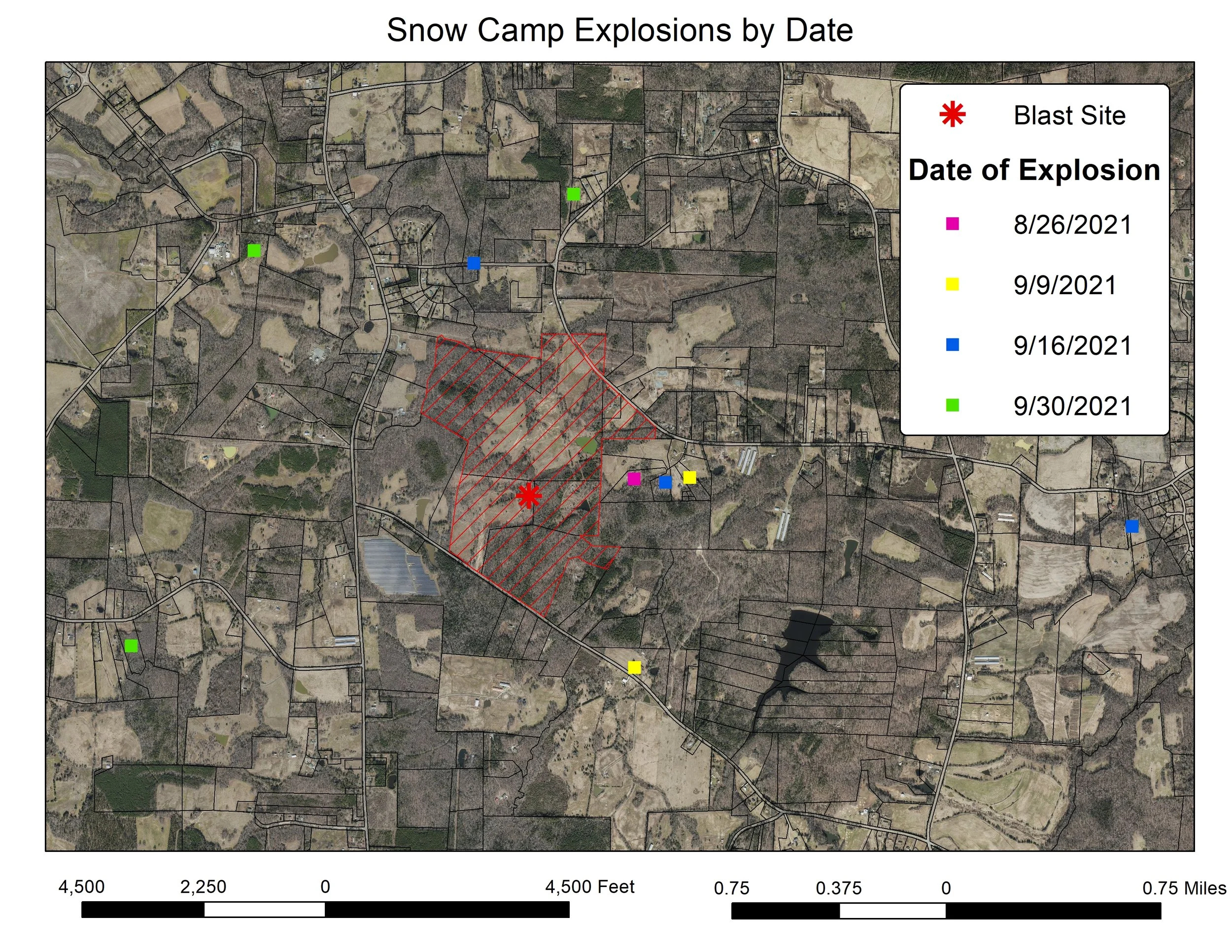
Integrated Mapping Solutions transforms location-based data into clear, accurate maps that help organizations make informed decisions. Our GIS and mapping services include custom map creation, spatial data development, election and voting district mapping, and geospatial data management to help clients better understand, organize, and visualize their information. Whether supporting government agencies, businesses, or community projects, we deliver reliable maps and mapping solutions tailored to your needs.
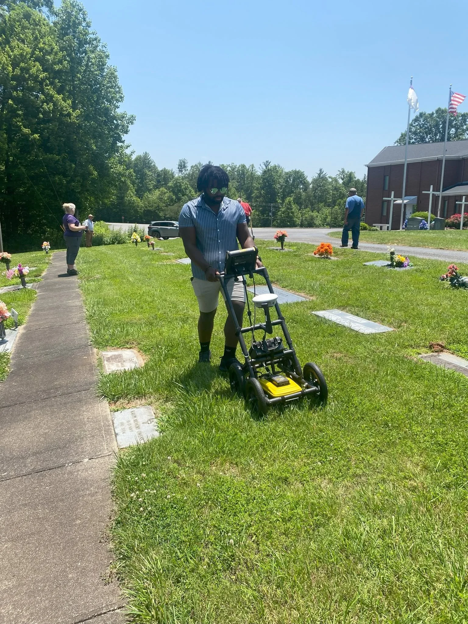
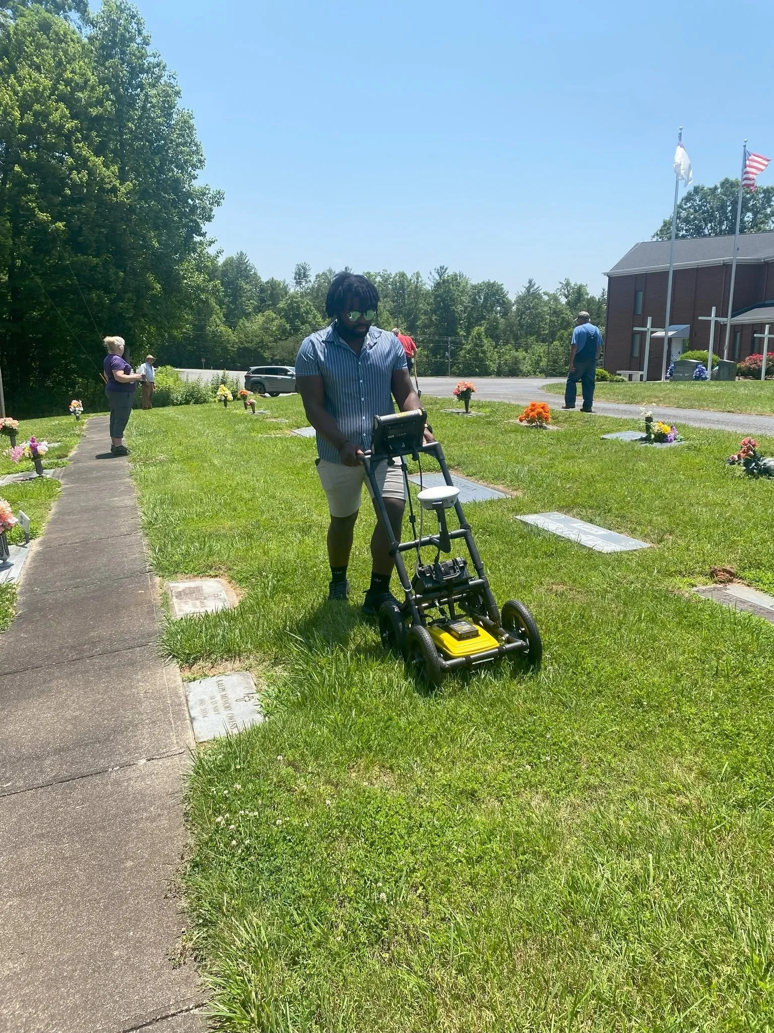
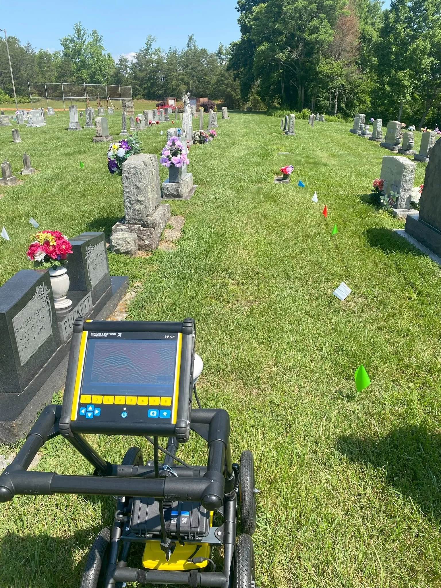
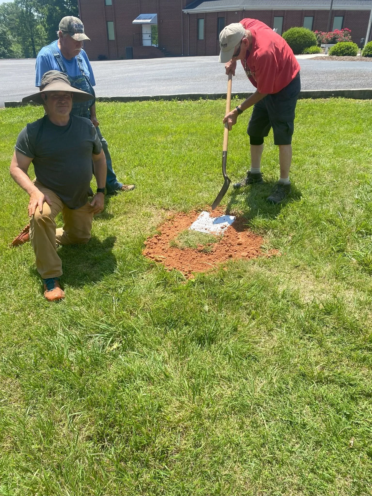
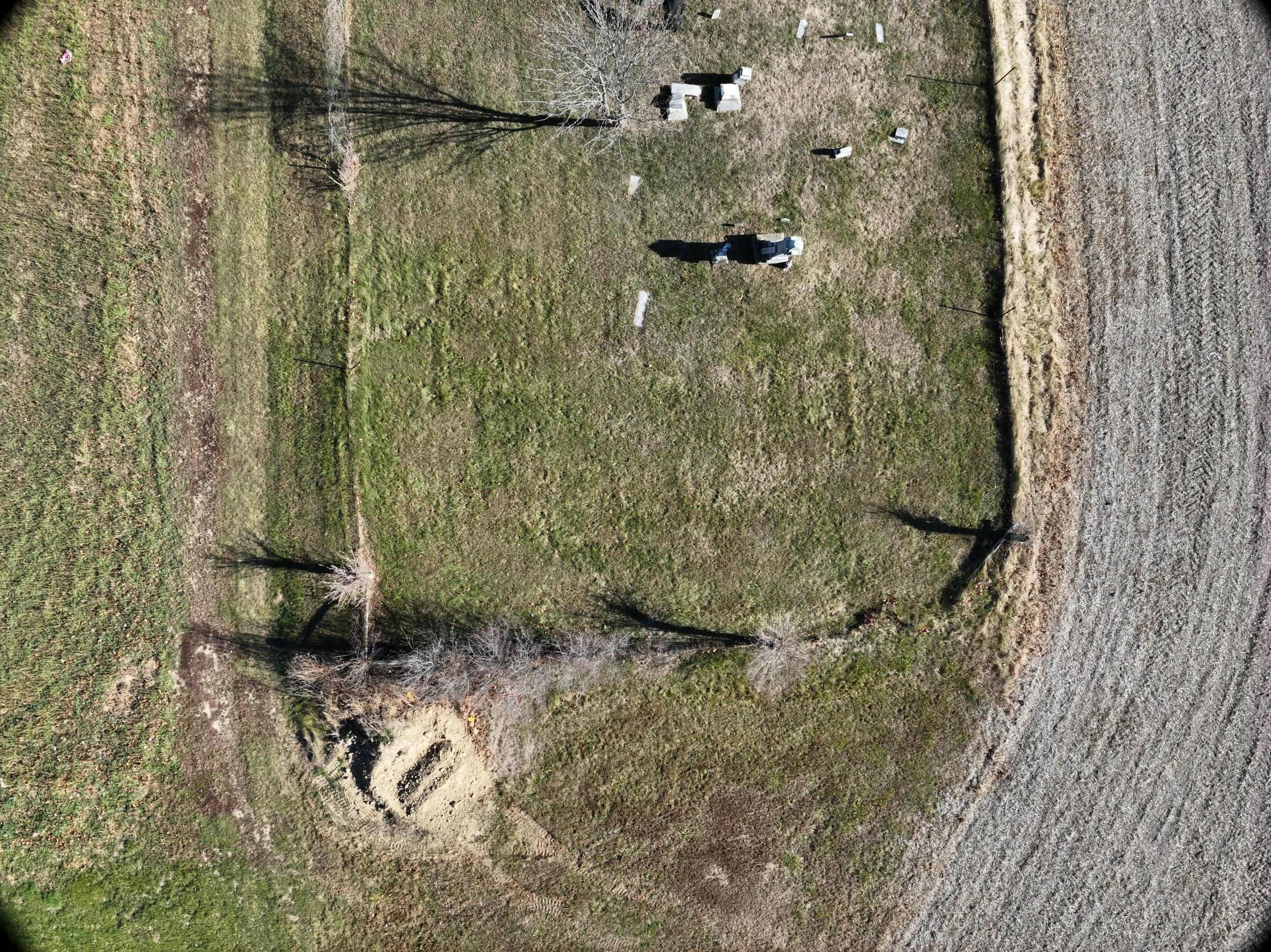
Integrated Mapping Solutions provides professional Ground Penetrating Radar (GPR) services to help reveal what lies beneath the surface without digging or disturbing the ground. Whether locating unmarked graves for cemetery mapping or identifying buried utilities, structures and other underground features, our GPR technology delivers accurate information to support planning, preservation, and decision-making.
Global Position System (GPS) Data Collection
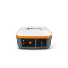
Integrated Mapping Solutions provides professional GPS data collection and asset management services to help organizations accurately locate, inventory and manage their valuable infrastructure and resources. Using our high-precision Geode GNS3S GNSS receiver, we collect reliable, location data for utilities, facilities, parks, trails, cemeteries, transportation assets and other critical infrastructure. Whether you need to create a new asset inventory or update an existing GIS database, we deliver accurate, dependable geospatial data that supports better planning, maintenance, and decision-making.
Pricing
Drone Services
FAA-Certified Drone Operations – $100/hour
Aerial Photography & Videography – $100/hour
Drone Inspections – $100/hour
Drone Mapping & Orthomosaic Creation – $150/hour
Ground Penetrating Radar (GPR)
Utility & Infrastructure Locating – $200/hour
Cemetery Mapping – $200/hour
Subsurface Investigations – $200/hour
GIS & Mapping Services
GIS Consulting – $100/hour
Custom Map Design – $100/hour
Spatial Data Development – $125/hour
GIS Database Development – $150/hour
Spatial Analysis & Geoprocessing – $100/hour
GPS Data Collection & Processing – $125/hour
Please Note: A two-hour minimum may apply for local projects. Travel outside the Greensboro/Triad area, specialized equipment and pre-processing/post-processing time may incur additional charges. Contact us for a free consultation and a customized estimate.
Gallery
About Us
At Integrated Mapping Solutions, we combine decades of geospatial expertise with the latest drone technology to deliver accurate, reliable, and professional mapping solutions across North Carolina and beyond. Since 2019, we have provided FAA-certified drone services under Remote Pilot Certificate License #4271260, offering safe, compliant and high-quality aerial data collection for a wide range of commercial, government, and private clients.
Our team brings nearly 30 years of Geographic Information Systems (GIS) experience, with a proven track record of projects in the private, public, defense, and academic sectors. From drone mapping and aerial imagery to GIS analysis, cemetery mapping, ground penetrating radar (GPR), and custom geospatial solutions, we are committed to providing accurate data that helps our clients make informed decisions.
As a proudly women-owned and veteran-owned business, we take pride in delivering exceptional customer service, technical expertise, and integrity on every project. Whether you need aerial inspections, property mapping, GIS consulting, or subsurface investigations, Integrated Mapping Solutions is dedicated to providing innovative, dependable, and cost-effective geospatial services tailored to your needs.

Contact Information